GIS SOLUTIONS
Geographic Information Systems for government and industry
We visualize and analyze territorial data to turn geospatial information into strategic decisions.
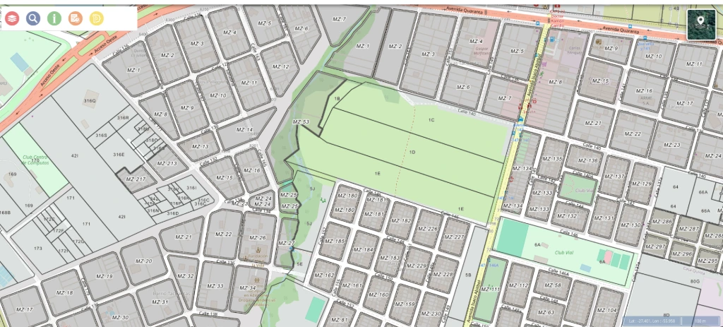
Cadastral GIS in production, with blocks and parcels over the street network
+20
GIS projects.
In government and industry
+15
years of experience.
In software and data
3
active countries.
AR · UY · PY
100%
tailor-made.
Adapted to each client
WHERE TO START
What is a GIS and what is it for
A Geographic Information System connects every piece of data in your organization with its location in the territory. Instead of reading spreadsheets, you read a map: where your assets are, your clients, your public works, your field teams.
It is not just a nice map: it is an analysis layer. A GIS combines your own information with territorial data — cadastre, infrastructure, weather, routes, population — and answers questions a spreadsheet cannot: which area to serve first, which route is shortest, where the problem concentrates.
WHAT WE DO WITH GIS
From field survey to the decision
Survey and data capture
Drones, scanners and georeferenced field work to build the base layer with your own data.
Maps and dashboards
Assets, clients and field operations on a live map, so the whole team looks at the same picture.
Territorial analysis
We combine layers to plan territory and infrastructure, and to see where to focus effort.
Route optimization
Routes, times and geofencing for teams working out in the field.
Integration with your ERP
The GIS layers embedded in Odoo, next to the rest of the operation, not in a separate system.
Solutions for government
Cadastre, public works and services on a territorial base, with the traceability the public sector needs.
Cutting-Edge Technology
Digitalization Solutions
With cutting-edge tools such as drones and scanners, we help organizations optimize processes, improve information management, and move toward greater operational efficiency.
Our expert team supports every step with clear, secure, and tailored solutions.

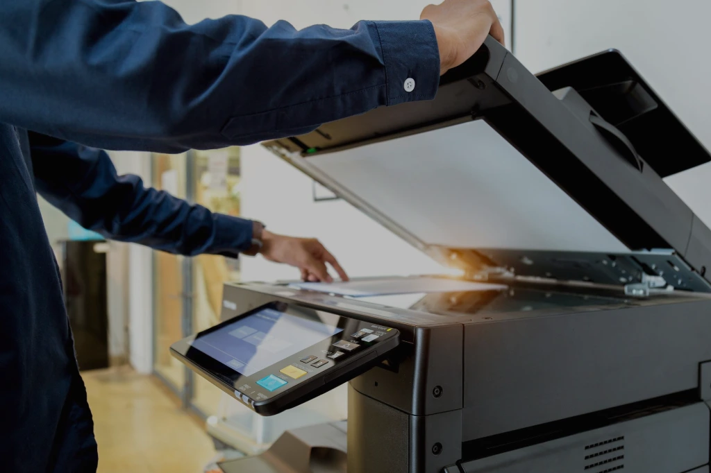
Document Digital Transformation
We digitalize and optimize document processes through secure, traceable solutions tailored to each organization, including digital signature, electronic signature, and document management systems.

Digitalization and Document Storage
We provide document digitalization, classification, and physical storage services with high security standards, enabling efficient access, protection, and management of information.
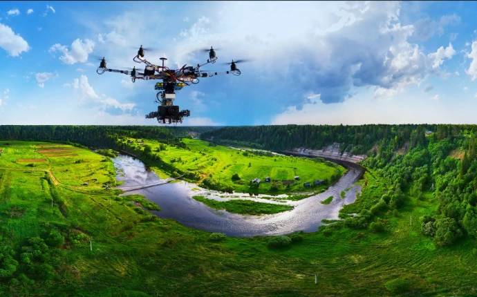
Geospatial Solutions and Field Surveying
We implement custom software, hardware, and automation solutions to improve document management, optimize internal processes, and ensure secure access to information.

IT Infrastructure and Connectivity
We protect physical and digital documentation through proprietary infrastructure, specialized logistics, and advisory services on archival regulations, traceability, and retention periods.
Digital Solutions for Field Operations
We develop technology-driven solutions for field data collection, georeferencing, and operational management, helping organizations improve decision-making and process traceability.
Are you ready to take your business to the next level?
Digital transformation is no longer an option: it is a competitive advantage.
At Reswoy, we integrate talent, software, infrastructure, document management, and geospatial solutions to help you build more efficient, secure, and scalable processes.